What impact is the Super El Niño likely to have on Europe’s mountains this winter?
September 28, 2026
What current long-term forecasts predict for conditions in the mountains this winter


What current long-term forecasts predict for conditions in the mountains this winter
This year’s El Niño, supercharged by global heating, is predicted to deliver some of the most extreme weather human’s have ever experienced. It’s been coined a Godzilla El Niño and Super El Niño for its unprecedented strength, far outstripping that of previous instances of this natural phenomenon.
Climate scientists and weather forecasters are scrambling to provide people realistic scenarios of what a Super El Niño could mean in different parts of the world. Models are predicting widespread disruption, with increased likelihood of extreme weather events, particularly across the Global South in places like India, East Asia, South America, parts of Africa and the West Pacific. These may, in turn, lead to humanitarian crises, crop failures and food shortages at the local level, as well as being likely to have a global economic impact, pushing up the prices of certain foods and commodities.
El Niño tends to impact Europe less directly, though the magnitude of this years’ event makes it a unique case. As it’s expected to peak in December, we thought we’d look at El Niño through the lens of mountain weather and delve into what this winter might have in store for Europe's peaks and slopes.

An El Niño is a natural, recurring event that’s part of the Earth’s weather cycle. It occurs every few years when sea temperatures in the eastern and central equatorial Pacific Ocean rise. It’s officially declared when these temperatures rise above the long-term average by 0.5 degrees centigrade and this increase has a knock-on effect on weather systems across the world, particularly in the Global South.
What’s unnatural about this years’ El Niño is the extent to which it’s being supercharged by human-caused climate change. The global heating caused by climate change is primarily a result of the burning of fossil fuels and the resulting release of carbon into the Earth’s atmosphere.
In September 2026, the ocean temperatures in the tropical eastern Pacific were a staggering 3.05 degrees centigrade above the long-term average, making this year’s El Niño by far the strongest we’ve witnessed. Due to this, many scientists are predicting that, on top of the impact of continued global heating, 2027 will be the hottest year on record across the globe.
There are contrasting views about how this year’s Super El Niño will impact winter in the Alps and other ranges in mainland Europe. As reported by In the Snow, the European Space Agency (ESA) has recently speculated that El Niño has the potential to weaken the polar front jet stream, the ribbon of high winds that flow from west to east across the Atlantic around 5 to 7 miles above the Earth’s surface. The ESA say that “if the disrupted jet stream favours persistent high-pressure blocking, allowing cold Arctic air to move south, it increases the risk of severe cold spells and snowstorms across Europe and other regions.”

However, the key word in the above is if, as it’s difficult to predict with any degree of certainty how El Niño will interact with the polar front jet stream. In fact, it’s much easier to predict how El Niño will impact snow conditions in North America than it is for the Alps and the rest of mainland Europe. This is due to the many variables associated with Atlantic weather patterns.
It seems the only certainty regarding El Niño’s potential impact on the Alps this winter is uncertainty. More generally, current long-range forecasts are predicting relatively reliable skiing at high altitudes this winter. In short, if you’re looking to hit the slopes your best bet is to choose high-altitude resorts with north facing slopes and snowmaking infrastructure. This increases your chances of enjoy decent powder – whether El Niño will enhance conditions is yet to become apparent. Be sure to check current conditions on Peak Weather before setting out.
Forecasters in the UK are expecting a warm, wet and stormy autumn, which may persist into early winter, followed by a colder, drier period in the New Year. It’s important to stress that the position of the Polar Front Jet Stream and general Atlantic conditions will remain the main drivers of Scottish winter weather, though El Niño will certainly have a hand in matters. It’s worth treating long-range forecasts with some caution as “the impacts of El Niño on UK weather are less certain (than in the Global South) and cannot be confidently predicted” according to a report by the UK Government.
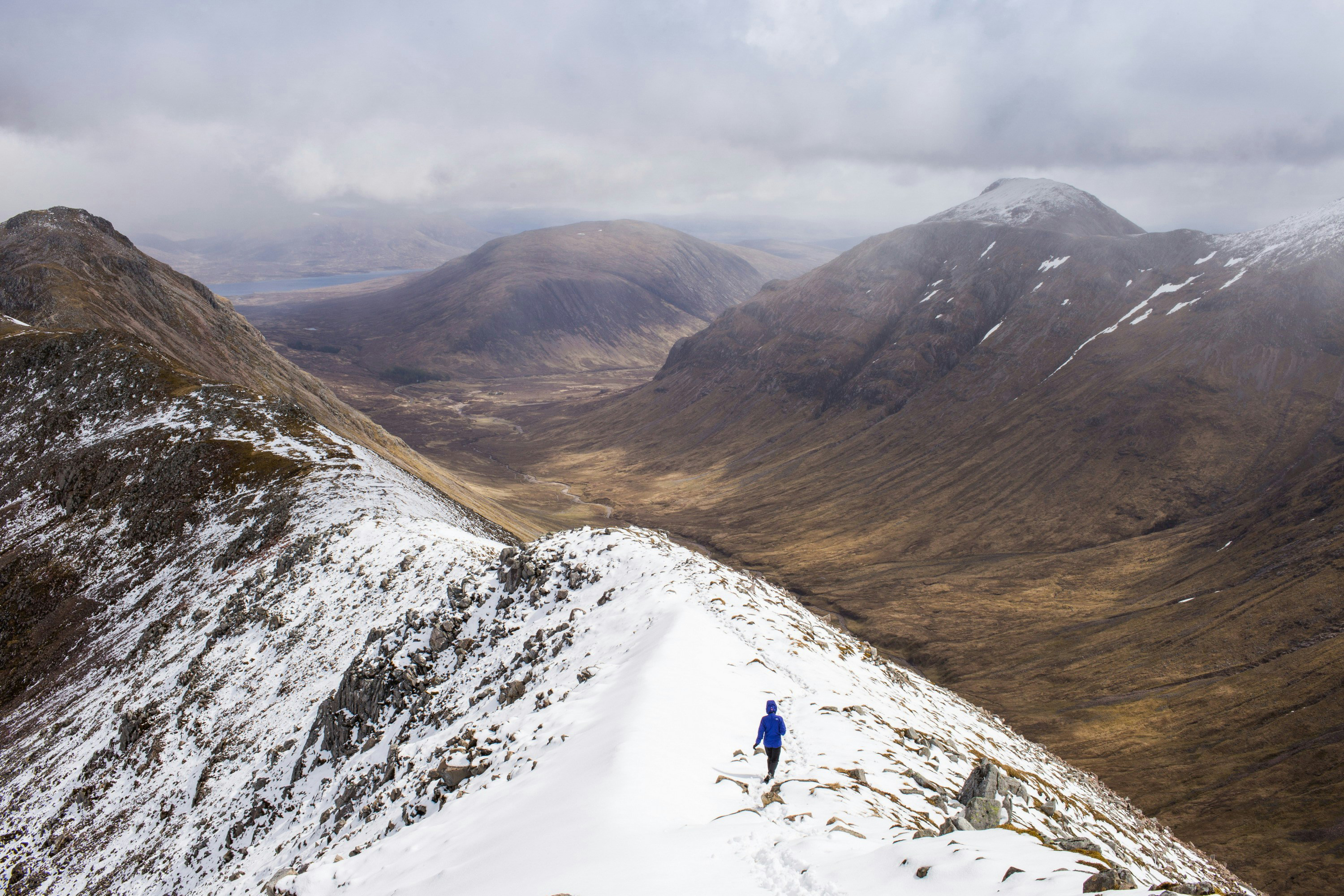
Low pressure is likely to dominate through the first part ofthe season, with the Met Office stating that this is “one-and-a-half to two times higher than would normally be expected”. This means that the Scottish mountains, particularly those rising out of the Atlantic in the west, can expect westerlies, bringing a large amount of precipitation and high winds. If temperatures drop at the same time as a storm sweeping in, the combo is likely to deliver hefty dumps of snow across high ground. However, higher than average temperatures may mean that this is more liable to subsequently melt before solid winter climbing conditions become entrenched. Transport networks are likely to be impacted too, particularly rail services and the ferries that the Scottish islands rely on.
The picture is more promising for the latter part of the winter, when easterlies and northerlies are predicted, bringing “cold snaps” for January and February, albeit with less chance of significant precipitation. Lower temperatures will mean that any snow that does fall has a better chance of sticking around.
So, the current thinking indicates that your best bet for a spot of winter climbing, mountaineering or skiing in Scotland may be between January and March. When you do head out, check the avalanche forecast, check Peak Weather and double check conditions on the Mountain Weather Information Service.
While both have a marintime climate, a key difference between the UK’s mountains and the Scandinavian Mountains is that the latter have very reliable snow conditions every winter. This is mostly due to their higher latitude and the fact that Arctic air masses can dictate the weather.

As with predicting El Niño’s impact on the UK, it’s difficult to accurately assess how it might play out across Scandinavia too. “A colder winter in Scandinavia” is perhaps likely, according to Professor Andy Turner, professor in monsoon systems, Department of Meteorology, University of Reading. This sentiment is echoed by the CMCC (Centro Euro Mediterraneo sui Cambiamenti Climatici) Foundation, who say that “past El Niño events have been associated with colder-than-average conditions in parts of northeastern Europe, often linked to higher pressure over Scandinavia, weaker westerlies, and a southward shift of the Atlantic storm track”.
Despite this, it seems likely that storms and gales may still characterise the main part of the season, as is so often the case in Scandinavia’s mountains. Ranges further east, such as Rondane in Norway or Sarek and Kebnekaise in Sweden usually enjoy more settled conditions. It’s likely that March, April and May will be the best months to get out there and enjoy the snow.